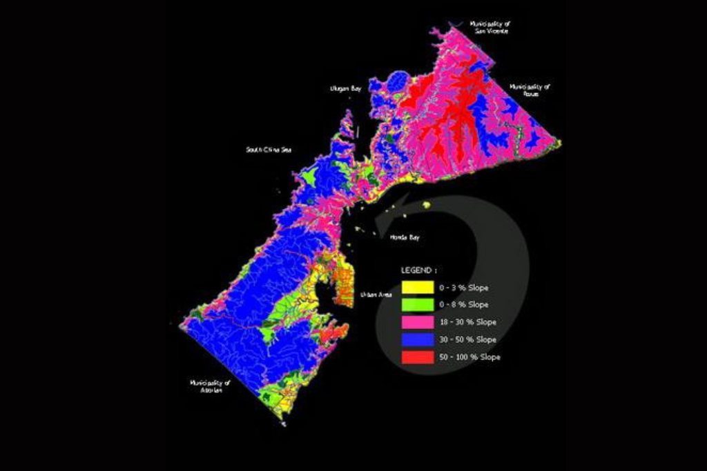
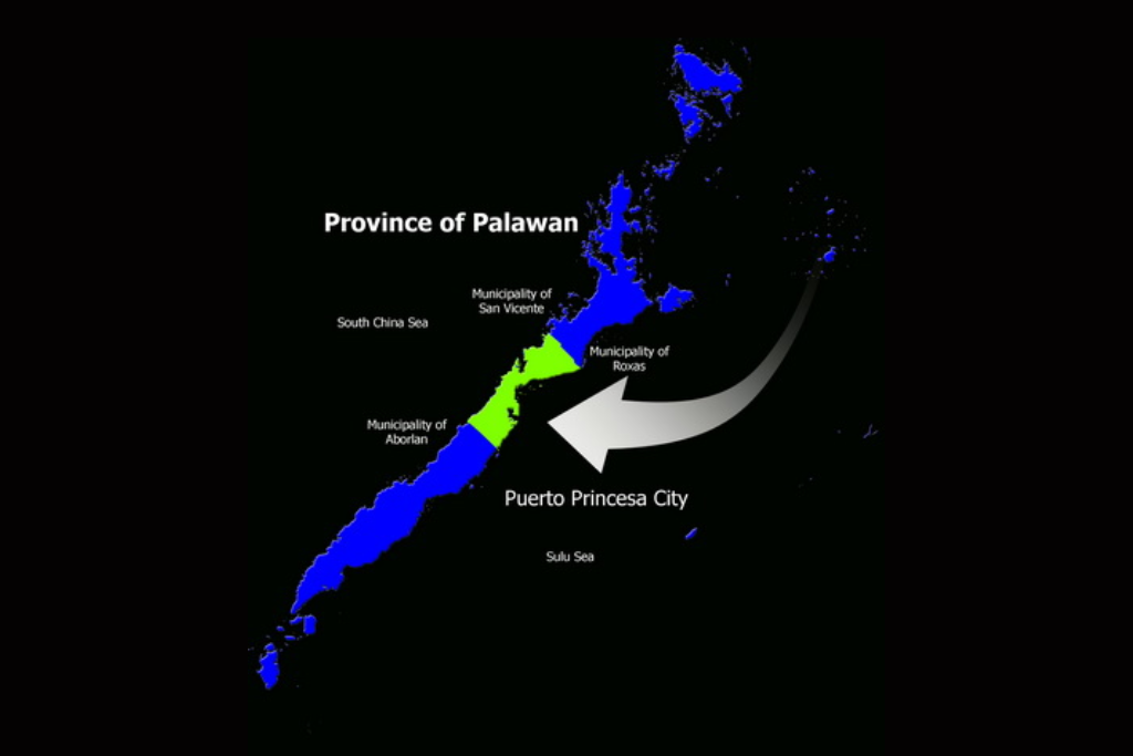
The City of Puerto Princesa in Palawan, Philippines is located 306 nautical miles southwest of Manila, 205 nautical miles from Panay and about 250 nautical miles from Zamboanga. It is bounded on the North by the Municipality of San Vicente and Roxas and on the the South by the Municipality of Aborlan. Its western side faces the South China Sea while in its eastern coast lays the Sulu Sea
Puerto Princesa City has a total land area of 253,982 hectares making it the largest City in the country.
The City is comprised of 35 urban barangays and 31 rural barangays. The total area of the urban barangays is 14,716 hectares or only 5.7941% of the total land area of the City. The largest land area of the City is comprised of the rural barangays with a total land area 239,266 hectares or 94.2059% of the total land area of the City.